About Photogrammetry
SkyView Estates Phase 2 & 3
SkyView Phase 2 & 3 by ZTEX Construction, Inc. on Sketchfab
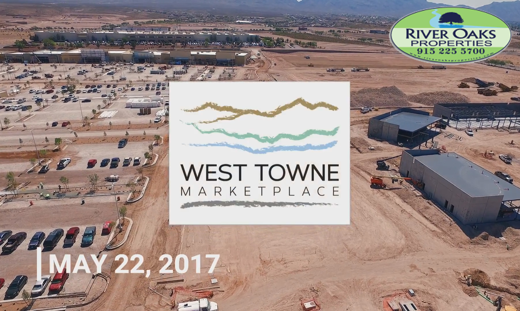
Montecillo West
Montecillo Westby ZTEX Construction, Inc.on Sketchfab
SkyView Phase 2
Skyview Phase 1 & 2 by ZTEX Construction, Inc. on Sketchfab
Desert Pass Subdivision
Desert Pass Subdivision by ZTEX Construction, Inc. on Sketchfab
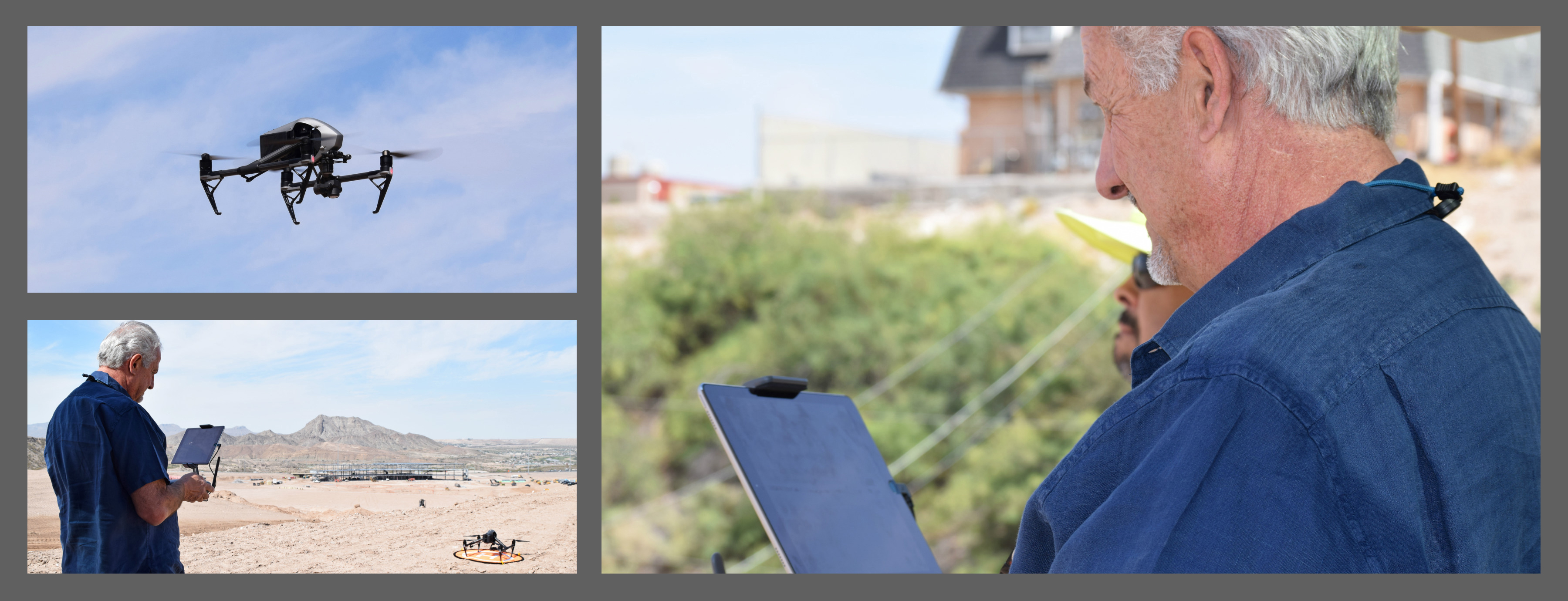
ZTEX Construction, Inc. successfully launched its first use of 3D Photogrammetry. This technology uses photographs to detect and measure the distance between points on a terrain. The technology records 3D motion fields, renders 3D mapping, generates a report and provides a Digital Elevation Model (DEM). Using Photogrammetry will save us time and money when surveying our projects. Three months in, we have succeeded with mapping the first portion of the Montecillo West Unit 11/ Topgolf location. Utilizing Photogrammetry, the survey of the 125-acre site went from taking three weeks, to only three days. We are excited to share our results so far and hope our Project Partners will join us on this new journey.
What is Photogrammetry?
Play the video below to learn more.